This Vermont peak is shaped like a human face and it’s the highest point in the state: Officials say
Shutterstock
It’s the state’s rooftop at 4,393 feet
Mount Mansfield stands taller than anything else in Vermont. The summit hits 4,393 feet at a rocky knob called The Chin, and it rises right above the town of Stowe in the heart of the Green Mountains. The whole mountain sits inside Mount Mansfield State Forest, and close to 40,000 people make it to the upper reaches every year. That makes it one of the most visited peaks in the state, and once you see why, the numbers make sense. Wikimedia Commons/Dougtone
The ridge has a forehead, a nose, a lip and a chin
Look at Mount Mansfield from the east and you’ll see it. The long summit ridge traces the profile of a human face lying on its back. Each rocky point has a name to match: the Forehead, the Nose, the Lip, the Chin, and the Adam’s Apple. The Chin tops them all, which is the opposite of a real face. Before settlers arrived, the Abenaki called it Mozodepowadso, meaning mountain with a moose head. The name Mansfield came later from a town chartered on its slopes that never fully took root. Wikimedia Commons/Dougtone
Ice Age plants still grow on the summit
The top of Mount Mansfield holds Vermont’s largest stretch of alpine vegetation, and these plants have held on since the last Ice Age. Only about three places in the entire state have true alpine tundra, and this is the biggest. The plants grow small and low to the ground, shaped by wind and cold into something you could step on without noticing. That’s exactly the problem. Hikers walk only on bare rock up here, and in 1980 the area earned National Natural Landmark status. Wikimedia Commons/Dougtone
You can see into three states and Canada from the top
A clear day on the summit gives you a full 360-degree sweep. Lake Champlain spreads out to the west, and the Adirondack Mountains of New York rise behind it. Turn east and the White Mountains of New Hampshire line the horizon. Look south and the spine of Vermont’s Green Mountains runs as far as you can follow it. On the clearest mornings, you can see north into Canada. Nothing blocks any of it up here. Wikimedia Commons/Dougtone
Walk 2.3 miles of open ridge above the trees
Most of Vermont is forest, so a treeless ridgeline stands out. The summit ridge of Mount Mansfield is one of the few spots in the state where you walk in the open with nothing overhead. Vermont’s Long Trail runs right along the top, and about 2.3 miles of it stay above the tree line. You can follow the ridge from the Nose north to the Chin, with rock underfoot and sky in every direction.
The walk alone is worth the trip. Wikimedia Commons/Famartin
Sunset Ridge is the wild way up from the west
The western approach through Underhill State Park is the wilder side of the mountain. Trails here start around 2,000 feet and climb all the way to the summit. The Sunset Ridge Trail is the popular pick, and it earns the name. You climb with long, open views the whole way up. If you want more tree cover, the Laura Cowles Trail runs nearby through sheltered forest. Connect the two into a loop and you get the best of both. Wikimedia Commons/Jared C. Benedict
A gondola with floor-to-ceiling windows takes you up
Not everyone wants to hike 2,000 vertical feet, and you don’t have to. The Stowe gondola carries you up the mountain with floor-to-ceiling windows on every side. Fall foliage season packs the cars, and for good reason. From the gondola terminal, the steep Cliff Trail connects to the Long Trail and leads toward The Chin. So you can ride up easy and still get a real summit hike in once you step out. Wikimedia Commons/Famartin
A steep toll road winds 4.5 miles to the ridge
If you’d rather drive, a toll road climbs about 4.5 miles up the mountain to near The Nose. The road is mostly unpaved, steep, and full of sharp hairpin turns. It’s not fast, and that’s fine. You’re gaining elevation with every switchback. Once you park at the top, you can walk the ridge toward The Chin and cover the high ground on foot. It’s the easiest way to get a car close to the summit. Shutterstock
Fall turns the mountain into miles of red and gold
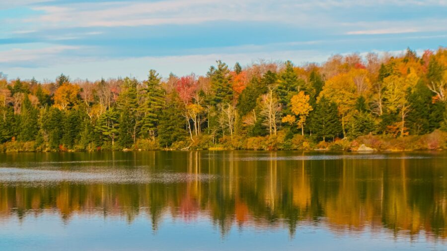
Fall draws the biggest crowds to Mount Mansfield, and the timing is everything. The forests below the summit turn bright red, orange, and gold, and from the open ridge you look out over miles of it. Both the gondola and the toll road give you sweeping color on the way up. Peak foliage brings peak crowds, so aim for early morning if you want space. The high summit puts you above the canopy with autumn rolling out in every direction. Wikimedia Commons/Dick Mansfield
Bicknell’s thrush nests in the high evergreens
The mountain’s upper slopes hold habitat for the Bicknell’s thrush, a rare songbird that nests in high-elevation evergreen forest.
Read more from this brand:
Southern Vermont’s highest peak has a toll road, silent monks, and views into four states
Vermont’s oldest covered bridge has a fake ghost story and a real gold rush connection
Vermont Route 9 crosses the Green Mountains with a fire tower view you climb for free
The post This Vermont peak is shaped like a human face and it’s the highest point in the state appeared first on When In Your State.
Ravens ride the wind near the summit, and you’ll hear them before you spot them. Lower down, moose, deer, and black bears move through the forest. Birdwatchers also scan for peregrine falcons and warblers along the slopes. The mix of dense forest, stunted spruce, and open tundra gives a wide range of animals room to live here. Wikimedia Commons/Dougtone
The forest changes four times on the way up
Start at the base and you’re walking through northern hardwoods: maples and birches with broad leaves overhead. Climb higher and spruce and fir take over, darker and denser. Near the summit, the trees shrink into twisted, stunted shapes bent sideways by wind. Then they vanish. You step out onto open rock and tundra, and the whole feel of the mountain shifts. Each zone has its own look, its own smell, its own sound. One mountain, four different worlds. Wikimedia Commons/Dougtone
Mud season shuts the trails to save what grows here
The alpine plants on Mount Mansfield are slow growers. One footprint on the wrong patch can take years to repair. Ropes line the trails in places to keep hikers on the rock and off the vegetation. Every spring, from mid-April to about Memorial Day, the high-elevation trails close completely. Mud season would chew up the paths and crush the plants, so the mountain gets a rest. Staying on marked rock is the simplest thing you can do to keep this place intact. Wikimedia Commons/Famartin
Hit the trails at Mount Mansfield in Vermont
You can reach Mount Mansfield from two sides. Underhill State Park on the west gives you access to the Sunset Ridge and Laura Cowles trails. The Stowe side on the east has the gondola, the toll road, and more trail options. The normal hiking season runs roughly from Memorial Day to mid-October. The gondola and toll road operate seasonally, so check the official website for current hours and pricing before you go. Additional hiking from either the gondola terminal or the toll road summit is required to reach The Chin. This article was created with AI assistance and human editing. Read more from this brand:
Southern Vermont’s highest peak has a toll road, silent monks, and views into four states
Vermont’s oldest covered bridge has a fake ghost story and a real gold rush connection
Vermont Route 9 crosses the Green Mountains with a fire tower view you climb for free
The post This Vermont peak is shaped like a human face and it’s the highest point in the state appeared first on When In Your State.
Leave a Reply