The pavement ends, then Utah’s Moki Dugway climbs 1,200 feet in three gravel miles: What we know so far
Shutterstock
It’s the Southwest’s best front-row seat
You drive paved highway for miles through southeastern Utah, and then the pavement just stops. What comes next is a three-mile stretch of gravel switchbacks carved right into the face of a cliff on State Route 261, near the tiny town of Mexican Hat. The road climbs about 1,200 feet from the desert floor to the top of Cedar Mesa, and the views start the second you leave flat ground. The name comes from “Moki,” an old term for the Ancestral Puebloan people, and “dugway,” a road cut into a hillside. Those few miles trade asphalt for something you won’t forget. Wikimedia Commons/Nikater
Uranium miners carved this road in 1958
The whole road exists because of Cold War uranium. Miners built the Moki Dugway in 1958 to haul ore down from Cedar Mesa to a processing mill near Mexican Hat, right in the middle of the mining boom that swept through this part of Utah. The ore ran out. The road stayed. Long before any of that, the area’s earliest inhabitants carved hand- and foot-holds into these same cliffs to get up and down. Now you drive what they climbed. Wikimedia Commons/RuggyBearLA
Pull over at the top for three-state views
Near the top of the switchbacks, a pullout gives you one of the great desert overlooks in the state. You look straight down onto red rock that spreads out in every direction. The Valley of the Gods fills the foreground. Monument Valley rises behind it. On clear days you can pick out landmarks in Colorado and New Mexico. The scale hits you all at once, and it is the kind of view that makes you just stand there for a while. Shutterstock
A 17-mile dirt loop through ancient sandstone towers
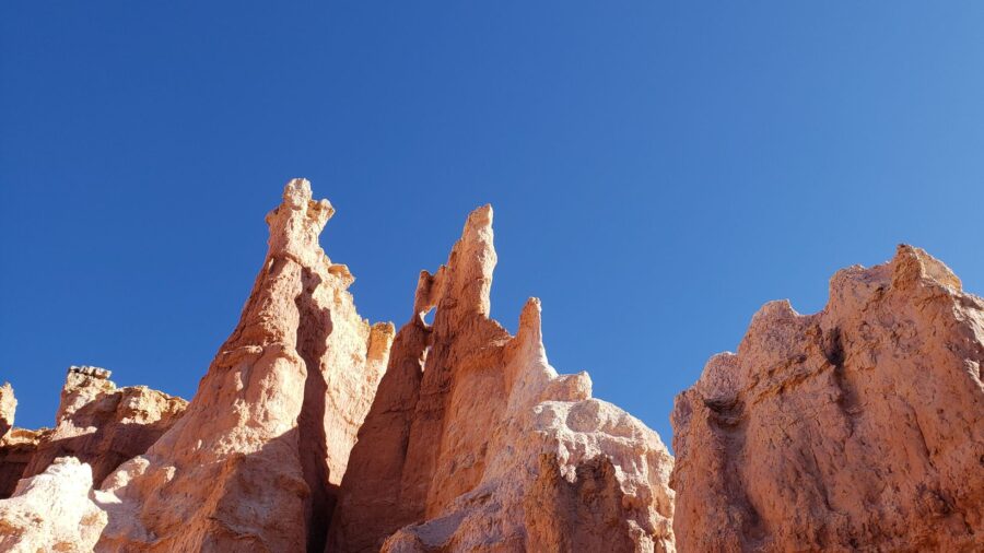
Below the dugway, the Valley of the Gods spreads across the desert floor like a quieter, smaller version of Monument Valley. A 17-mile dirt road loops through towering sandstone buttes and spires, connecting to the highway at both ends. Some of the formations have nicknames like Setting Hen Butte and Rooster Butte. The red sandstone that makes up these towers goes back about 250 million years. You can drive the whole loop and rarely see another car. Shutterstock
Muley Point hangs over the San Juan River canyon
A side road at the top of the dugway leads west a few miles to Muley Point, and it is worth every bump. The overlook sits right on the edge of Cedar Mesa, inside the Glen Canyon National Recreation Area.
From here you look down into the deep San Juan River canyon as it curves far below. Monument Valley’s towers stand in the haze to the south. There is no railing, no gift shop, no crowd. Just the canyon and the sky. Wikimedia Commons/Vulturesong
The San Juan River loops six miles to go one and a half
Just south of the dugway, Goosenecks State Park puts you on the rim of one of the most dramatic river bends in the country. The San Juan River loops back on itself in tight, snaking curves, flowing more than six miles to cover about a mile and a half of straight distance. The canyon drops roughly 1,000 feet below where you stand. Geologists call it one of the world’s best examples of an entrenched meander. You can see why from the edge. Shutterstock
Three hundred million years of rock, stacked and exposed
The canyon walls at Goosenecks put over 300 million years of geologic history right in front of you. Layer after layer of stone sits in visible bands along the cliffs, each one a different chapter. The San Juan River carved this record slowly as the land around it rose. Geologists know these layers as the Honaker Trail and Paradox formations. You do not need a textbook here. The raw process of erosion is easy to read with your own eyes. Wikimedia Commons/Ducilla1
Three giant stone bridges carved by flowing water
Northwest of the dugway, Natural Bridges National Monument protects three huge natural stone bridges named Sipapu, Kachina, and Owachomo, after the Ancestral Puebloans who once lived in this area. These are not arches. Flowing water cut each one through solid rock over thousands of years. A nine-mile scenic drive loops past overlooks for all three, and short trails take you down beneath the massive spans. Standing under one, you feel the weight of the stone above you. Wikimedia Commons/Arches National Park
The Milky Way shows up without a telescope
Natural Bridges became the world’s first International Dark Sky Park in 2007, and the reason is simple. Almost no light pollution reaches this corner of Utah. On a clear night, the Milky Way stretches across the sky bright enough to see with the naked eye, no equipment needed. The park ranks among the best stargazing spots in the entire National Park System.
Read more from this brand:
Zion’s most magnificent mile cuts through red canyons to white domes and open sky
Boulder, Utah’s backyard holds a thousand-year-old Ancestral Puebloan village
Over 2,000 arches crowd this Utah desert and the whole place is slowly crumbling
The post The pavement ends, then Utah’s Moki Dugway climbs 1,200 feet in three gravel miles appeared first on When In Your State.
Rangers lead astronomy programs during the warmer months, so you can time your visit around them. Wikimedia Commons/Bureau of Land Management
Tens of thousands of ancient sites hide in the canyons
Cedar Mesa holds one of the richest concentrations of ancient sites anywhere in the Southwest. Estimates range from tens of thousands to more than 100,000 archaeological sites across the area, including cliff dwellings, granaries, and rock art tucked into canyon alcoves. At House on Fire, morning light hits the sandstone overhang and makes it glow orange, like flames licking the ceiling. More fragile sites like Moon House require permits to visit, so plan ahead if you want to see them. Wikimedia Commons
The Trail of the Ancients ties it all together
The Moki Dugway sits along the Trail of the Ancients National Scenic Byway, a route that winds through some of the most scenic and culturally rich country in the Four Corners region. The byway connects parks, monuments, and overlooks across southeastern Utah in one long, slow drive. It ties the dugway together with the buttes, canyons, and bridges nearby. You do not need to rush it. The whole point is to take each stop as it comes. Wikimedia Commons/brewbooks
Few places pack this much desert into one drive
Within a short stretch of road, you get cliff-top views, twisting river canyons, giant stone bridges, ancient cliff dwellings, and some of the darkest night skies in America. The remoteness keeps the crowds thin compared with Utah’s busier national parks. The mix of deep geology and deep human history gives this corner of the state a weight that most places cannot match. If you love open desert and empty roads, this stretch of southeastern Utah is hard to beat. Shutterstock
Drive the Moki Dugway in southeastern Utah
You can find the Moki Dugway on UT-261, north of Mexican Hat in San Juan County. The road runs about three miles of unpaved, graded gravel switchbacks with a grade around 10 to 11 percent and no guardrails. Utah recommends vehicles under 28 feet and 10,000 pounds, so leave the big RV behind. The posted speed sits around 15 mph, and you should plan 30 to 40 minutes for the stretch. The road can close after snow or heavy rain, and there is no gas, food, or cell service along the way. Check conditions before you go. Valley of the Gods, Muley Point, Goosenecks State Park, and Natural Bridges National Monument all sit within a short drive, with fees at some sites. This article was created with AI assistance and human editing. Read more from this brand:
Zion’s most magnificent mile cuts through red canyons to white domes and open sky
Boulder, Utah’s backyard holds a thousand-year-old Ancestral Puebloan village
Over 2,000 arches crowd this Utah desert and the whole place is slowly crumbling
The post The pavement ends, then Utah’s Moki Dugway climbs 1,200 feet in three gravel miles appeared first on When In Your State.
Leave a Reply