Walk two miles into Death Valley and the rock walls turn from gold to fire: Officials say
Shutterstock
It’s a geology lesson you can walk through
Death Valley keeps most of its color underground or miles away. But Golden Canyon puts it right in front of you, close enough to touch. A short walk from the parking lot drops you between towering yellow walls that shift to orange, rust and deep red the farther you go. Side canyons branch off in every direction, and a rock spire stands over the badlands like a shark fin. The whole thing packs more color into two miles than most parks spread across fifty. Wikimedia Commons/hakkun
The golden walls glow when the sun drops low
The canyon gets its name from the color of the rock, not from any precious metal buried in the hills. From the parking area, you catch a glimpse of yellow walls rising ahead. Walk in, and those walls close around you, climbing higher with every turn. The gold deepens when morning or late afternoon sun hits the stone at a low angle. That light turns the mudstone into something that looks almost warm to the touch. Wikimedia Commons/Domenico Convertini
An ancient lake left its fingerprints in the rock
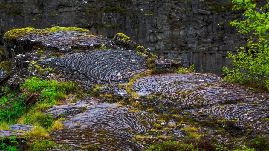
The yellow walls belong to a rock layer called the Furnace Creek Formation. Millions of years ago, this was the bottom of a lake bed, and soft mudstone settled there grain by grain. You can still find ripple marks frozen into the stone, left by water that dried up ages ago. Fossils in the region point to a wetter time, when large animals roamed the land. Faults later pushed the whole thing up and tilted it sideways. Wikimedia Commons/Murray Foubister
Side canyons branch off like a maze
The main trail splits into a network of side canyons that branch and twist in every direction. Some narrow down to shoulder width. Others open up into small amphitheaters of banded rock. The walls change color and shape every few steps, so no two turns look the same. Free maps at the Furnace Creek Visitor Center help you sort out the routes. People call it a choose-your-own-adventure kind of hike, and that fits. Wikimedia Commons/Pierre Camateros
Red Cathedral rises like a rusted wall of stone
Past the golden hills, the landscape shifts. Red Cathedral stands at the end of the trail as a massive curve of deep red-orange cliffs that tower over the canyon floor.
The red comes from iron in the rock, oxidized over ages into rust. The cliffs sweep inward and form a natural amphitheater, and the harder stone here resists erosion far better than the soft yellow mudstone around it. Getting to the base means a bit of scrambling and squeezing through tight gaps. Shutterstock
Every hundred feet brings a different color
Golden Canyon does not hold one look for long. Yellow shifts to gold, gold to orange, orange to rust. Dark rock caps some of the hills while pale banded slopes drop below. The contrast between the golden lower canyon and the red cliffs ahead gives the trail its signature feel. Morning and late afternoon light pull the richest tones out of the stone, so timing your hike matters. Walk it at noon and you miss half the show. Shutterstock
A shark-fin spire anchors the whole badlands
Manly Beacon is a sharp golden spire that rises to about 823 feet above sea level and looms over the surrounding badlands like a shark fin. You probably know it already. It anchors the famous view from the Zabriskie Point overlook, and most photos of Death Valley’s badlands put it front and center. Up close, the spire looks far larger than it does from a distance. The scale only clicks when you stand beneath it. Shutterstock
The spire carries a rescue story from 1850
William Manly helped guide stranded emigrants out of Death Valley in early 1850, and that crossing gave the valley its grim name. His name now marks one of the most recognized rocks in the park. The story connects this landscape to some of the first Euro-American pioneers who crossed this stretch of desert. One of the harshest places on the continent carries a name tied to survival, and you can see the rock it belongs to from miles away. Shutterstock
Tilted layers tell millions of years of history
The rock layers along the trail once sat flat at the bottom of ancient basins. Faults in Death Valley pushed them up and tipped them sideways over millions of years. Fans of clay, mud and gravel piled on top and hardened into cement-like rock. Erosion carved the canyons later and exposed the colorful bands you walk past today. Every few steps, you cross into a different chapter of deep time.
Read more from this brand:
Near Stovepipe Wells, the desert splits open into polished marble
This corner of Death Valley glows red and green at sunset, and science explains why
Death Valley’s golden badlands look like another planet, and the walk up takes minutes
The post Walk two miles into Death Valley and the rock walls turn from gold to fire-red appeared first on When In Your State.
The whole trail reads like a textbook turned on its side. Shutterstock
A flash flood destroyed the road that used to run here
A paved road once ran up into Golden Canyon so visitors could drive through it. A powerful flash flood tore the pavement apart and washed most of it away. The desert reclaimed nearly every trace of that old roadway, and now you walk where cars once rolled. If you look carefully, you can still spot scattered remnants of asphalt along the trail. It stands as a quiet reminder of how fast water reshapes this land. Shutterstock
Gower Gulch adds mining history to the loop
Longer routes loop through a neighboring canyon called Gower Gulch, where the walls feel wilder and the crowds thin out. Old remnants from borax mining days still sit among the rocks, left over from operations in the late 1800s. The gulch runs through winding narrows with a quieter feel than the main canyon. If the two-mile out-and-back leaves you wanting more, this extension rewards you with a different kind of desert. Shutterstock
The view from Zabriskie Point ties it all together
If you take the longer route, the trail climbs from the canyon floor up to Zabriskie Point, one of the most photographed overlooks in the park. From up there, the wrinkled badlands spread out in golden waves below you. Manly Beacon anchors the center of the panorama, and beyond it, the salt flats and the Panamint Range fill the horizon. Seeing the canyon from below and above gives you two completely different versions of the same place. Shutterstock
Hit the trail at Golden Canyon in California
You can reach the Golden Canyon trailhead about two miles south of CA-190 on Badwater Road, a short drive from Furnace Creek. The basic out-and-back to Red Cathedral runs about three miles round trip with one small rock scramble. Longer loops through Gower Gulch or up to Zabriskie Point range from four to nearly eight miles. A paved lot with RV space and a vault toilet sit at the trailhead. Death Valley hits dangerous heat much of the year, so carry water and skip summer hikes after 10 a.m. Pets are not allowed on the trail. An entrance fee applies to the park, so check current fees and road conditions on the official website before you go. This article was created with AI assistance and human editing. Read more from this brand:
Near Stovepipe Wells, the desert splits open into polished marble
This corner of Death Valley glows red and green at sunset, and science explains why
Death Valley’s golden badlands look like another planet, and the walk up takes minutes
The post Walk two miles into Death Valley and the rock walls turn from gold to fire-red appeared first on When In Your State.
Leave a Reply