Whiskeytown Lake’s Glassy Surface Conceals a Drowned Gold Rush Town: Authorities confirm
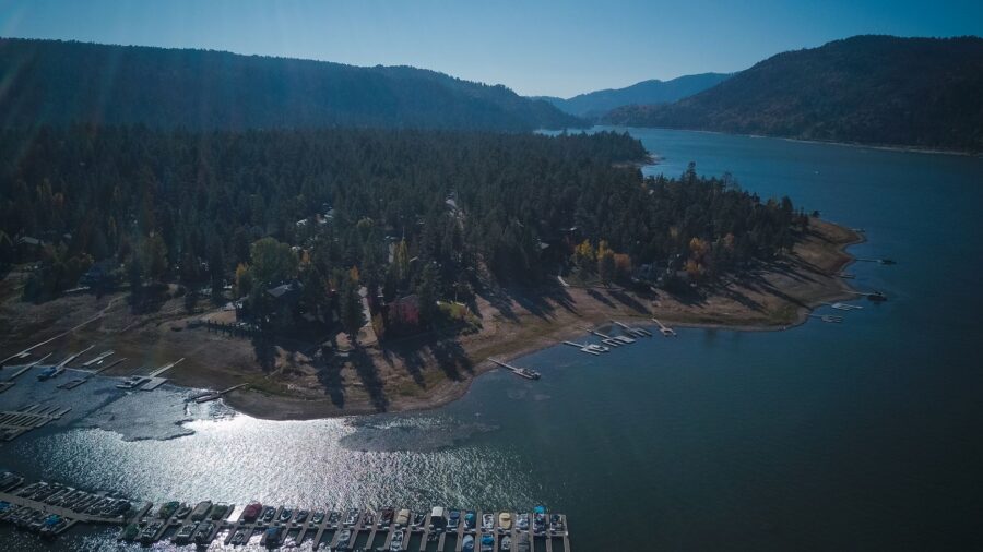
Whiskeytown Lake stretches across roughly 3,200 acres in the mountains just west of Redding, California, its water transparent enough to watch your own feet disappear beneath the surface. The 42,000-acre national recreation area surrounding it draws visitors to beaches, waterfalls, and more than 70 miles of hiking trails, but the lake itself remains the centerpiece. Two sandy-bottomed swimming spots — Brandy Creek Beach and Oak Bottom Beach — offer easy access to the water, while about 36 miles of shoreline fold into quiet coves favored by kayakers and paddleboarders who launch early to catch the calmest conditions. Rangers run free two-hour guided paddle tours from late spring through early fall, supplying all equipment and welcoming beginners, and on select summer nights those tours extend into moonlight excursions departing from the Oak Bottom area.
The stillness of the lake belies a layered past. The Wintu people inhabited this land long before outsiders arrived, and during the California Gold Rush of the 1850s, prospectors flooded in and established a mining town on the very ground now submerged beneath the reservoir. Local legend ties the name Whiskeytown to a mule that knocked a whiskey barrel into a nearby creek. Construction of Whiskeytown Dam wrapped up in the early 1960s, and the filling reservoir swallowed those old streets whole. Today, paddlers crossing the lake unknowingly glide above what was once a functioning Gold Rush community. History remains visible on dry land as well, at the Tower House Historic District, where the Camden House — erected in 1852 — still stands alongside the El Dorado Mine. Visitors can try recreational gold panning in Clear Creek, though anyone 17 or older must first obtain a Whiskeytown Gold Panning Pass. Rangers also lead Walk in Time tours through the historic homestead and mine workings.
Whiskeytown Falls plunges approximately 220 feet across three tiers, making it the tallest waterfall in the park — yet it remained essentially unknown to the public until a park biologist consulting an old logging map hiked in to verify its existence, and the falls were officially added to park maps only in 2004. Reaching them requires the roughly 3.4-mile roundtrip James K. Carr Trail, rated strenuous, with a staircase near the base leading to a viewpoint of the middle tier. Two additional waterfalls are accessible nearby: Crystal Creek Falls, reachable via a short paved wheelchair-accessible path, and Boulder Creek Falls, set in a shaded canyon that reopened in 2022 after post-fire trail restoration.
A significant wildfire tore through Whiskeytown in 2018, scorching much of the park, but natural regeneration has steadily reclaimed the hillsides and trail crews have reopened routes that were closed in the aftermath. The reduced tree canopy left behind by the fire has created unexpectedly clear views of the night sky, making the park a worthwhile destination for stargazing. Whiskeytown Recreation Area is accessible directly off Highway 299 west of Redding, and there is no admission fee to enter. The visitor center is the recommended first stop for maps, panning passes, and trail guidance, particularly for anyone planning to hike to the waterfalls or reserve a spot on one of the popular kayak tours.
Leave a Reply